Britain's National Map Agency Started as a Military Response to a Rebellion
After an uprising exposed how badly Britain's army misunderstood Scotland's terrain, the government commissioned a proper survey. It never really stopped.
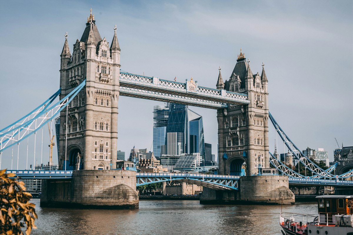
Today's thing — Britain's National Map Agency Started as a Military Response to a Rebellion
Most national mapping agencies exist for reasonably dry administrative reasons — tax assessment, land registration, infrastructure planning. Britain's Ordnance Survey, one of the oldest and most detailed national mapping bodies in the world, began instead as a direct military response to an armed uprising that Britain's own army had struggled to fight effectively, in part, because it simply didn't have accurate maps of the terrain.
An army that didn't know its own battlefield
The immediate trigger was the Jacobite rising of 1745, when Charles Edward Stuart led an uprising seeking to restore the exiled Stuart line to the British throne, advancing through Scotland and into England before ultimately being defeated. British military commanders, in the course of responding to the rising, found themselves seriously hampered by the poor quality of existing maps of the Scottish Highlands, terrain that was militarily and strategically important but had never been surveyed with anything close to the accuracy commanders needed to move and position troops effectively.
In the uprising's aftermath, the government commissioned a detailed military survey of the Highlands, led by an engineer named William Roy, intended specifically to close that gap in strategic knowledge for good. Roy's Highland survey, carried out through the late 1740s and 1750s, was itself a genuinely ambitious undertaking for its time, and Roy went on to become a driving advocate for a far more comprehensive national survey of the whole of Britain, a project he continued pushing for the rest of his career, though full funding and organizational commitment to that broader vision didn't arrive until after his death.
Named for where it was actually run from
The organization that eventually carried out that broader vision took its name, somewhat literally, from its administrative home: it was established under the Board of Ordnance, the government body responsible for military supplies, fortifications, and equipment, and the survey work was quite literally run out of the Ordnance's offices — hence "Ordnance Survey," a name that has stuck for well over two centuries despite the organization's role shifting almost entirely away from strictly military purposes over that time. Formal, sustained work on a comprehensive national survey began in 1791, generally treated as the Ordnance Survey's founding year, initially focused on the strategically sensitive southern coast of England amid concerns about a potential French invasion during the era of the Revolutionary and Napoleonic Wars.
Triangulation, and a very tall pole in Kent
The survey's underlying technical method was triangulation, a surveying technique that establishes a network of precisely measured reference points connected by carefully calculated angles and a small number of very precisely measured baseline distances, allowing surveyors to calculate accurate positions across a wide landscape from a comparatively small number of direct ground measurements. The project's first official baseline measurement, on Hounslow Heath near London in 1784, predates the Ordnance Survey's formal 1791 founding and was actually carried out under a related earlier scientific initiative, but it fed directly into the triangulation network the Ordnance Survey subsequently built out and relied on as it expanded its mapping coverage across the rest of the country over the following decades.
From military secret to everyone's hiking map
What began as a security-conscious military mapping project gradually transformed, over the nineteenth century, into a public civilian institution producing detailed maps used for an enormous range of everyday and commercial purposes: land ownership and boundary disputes, infrastructure and urban planning, geological and agricultural surveying, and eventually, recreational use by hikers and travelers. The Ordnance Survey became particularly renowned for the sheer level of physical detail its maps captured — individual field boundaries, footpaths, and even features as granular as isolated trees or small landscape markers appear on its most detailed map series, a level of granularity that set a genuinely high international standard for national topographic mapping that other countries' survey agencies were often explicitly measured against.
Still surveying, just with satellites now
The Ordnance Survey's methods have naturally modernized dramatically since William Roy's eighteenth-century triangulation chains and theodolites — the organization now relies on satellite positioning, aerial and satellite imagery, and digital geographic information systems rather than the physical ground-based triangulation surveys that built its original network. But the underlying institutional mission has remained remarkably consistent across roughly two and a half centuries: maintain the most accurate, continuously updated map of Britain available, a task that, unlike a one-time survey, never actually finishes, since roads, buildings, and boundaries keep changing and the map, to stay useful, has to keep changing right along with them.
It's a fairly unusual origin story for an institution now best known for the hiking maps stuffed in countless backpacks — a mapping agency born directly out of a failed rebellion and a British army's uncomfortable discovery that it had spent a war fighting across ground it genuinely did not understand.
The Ordnance Survey's detailed mapping work also played a quieter, less celebrated role in a very different kind of British institution: the standardized spelling of place names across a country with an enormously varied and often locally inconsistent tradition of naming villages, farms, and geographic features. Early Ordnance Survey surveyors, working county by county, were frequently the first outside authority to formally record a settlement's name in writing at all, consulting local clergy, landowners, and residents to settle on a standard spelling that often then became the de facto official version used in all subsequent official correspondence, postal addressing, and record-keeping, effectively freezing centuries of informal, sometimes wildly inconsistent local pronunciation and spelling into a single, permanent written form. That standardizing side effect, largely incidental to the survey's original military and administrative purpose, means that walking into a small British village today and checking its name on a modern map is, in a very real sense, still reading a decision an Ordnance Survey field surveyor made, often somewhat arbitrarily, roughly two centuries ago.
Want one of these in your inbox tomorrow?
One pick a day. Free. Unsubscribe in a click.